I just returned from a month long trip to Nepal, during which I completed the Three Passes Trek in the Everest Region. I went alone, carrying my own gear and without a guide and porter. I typed up a brief itinerary of the trek to share, as I found it very useful to read about other peoples experiences before I went.
Day 1 (April 06)
7:45am flight from KTM to Lukla with TaraAir. I arrived in KTM the night before and had prebooked a hotel, which was able to organize my flight. At breakfast, met another solo trekker, Matias, and we decided to try and make it to Namche Bazar that night.
Left Lukla at 10:00am and arrived in Namche at 6:30pm. I was able to purchase a TIMS card and park pass on the trail, make sure to bring passport photos. (Apparently the park pass was less than Matias paid in KTM. I paid 3000 rupees.) The trek from Lukla to Namche was doable in a day, however it was extremely tiring and you should have a high level of fitness. Carrying all my own gear, my pack weighed in at 17kgs without water. Upon arrival in Namche, I felt short of breath and had tingling in my fingers which soon went away after I warmed up by the fire.
 |
| Warming up by the fire after a long, hard day. |
 |
| View from Lukla from just above the runway. |
 |
| I spent 2 hours in this deathtrap! |
Day 2
Spent an acclimatization day in Namche. The Namche Bazar Bar has rooms for 100 rupees, on the condition you eat your meals there. (Very common when trekking.) High speed wifi and western food, many stores selling a range of goods (both real and imitations,) visa to cash services (8% service charge,) reasonable currency exchange, etc. are all available in the town. We hiked up to the Everest view hotel at lunch, and visited Khumjung where, for a small donation, we were able to see a ‘yeti scalp’ at the monastery. Neat! Tingling in my fingers returned briefly, but again went away once I had a chance to warm up.
 |
| Matias and I at the Everest View Hotel |
Day 3
Trekked from Namche to Tengboche, roughly a 5-6 hour walk. Fairly steep incline near the end, many people were struggling but I felt fine and experienced no AMS symptoms. I left some of my belongings behind in Namche at the hotel, and managed to really reduce the weight of my bag. At these altitudes, it’s amazing how little you can get away with when you have to carry everything yourself. We stayed at the Himalayan Hotel which was comfortable and had reasonably priced food. Arrived after lunch and I still had some energy so I climbed up to a nearby peak of interest. Well worth the effort, very cool views and good for acclimatization.
Trekked from Namche to Tengboche, roughly a 5-6 hour walk. Fairly steep incline near the end, many people were struggling but I felt fine and experienced no AMS symptoms. I left some of my belongings behind in Namche at the hotel, and managed to really reduce the weight of my bag. At these altitudes, it’s amazing how little you can get away with when you have to carry everything yourself. We stayed at the Himalayan Hotel which was comfortable and had reasonably priced food. Arrived after lunch and I still had some energy so I climbed up to a nearby peak of interest. Well worth the effort, very cool views and good for acclimatization.
 |
| Still had energy for a jump shot at the top! |
 |
| Traffic in downtown Tengboche |
Day 4
Tengboche to Dingboche, a very pleasant walk without the brutal incline of the past few days. Arrived at lunch, after eating I climbed up the nearby hill which is a popular acclimatization hike. Turned around before the top due to developing a headache and tingling fingers. Not sure the altitude, but I passed a 4800m marker and estimate I got close to 5000m. Within 30 minutes of returning to the thinner air below, I felt much better.
 |
| During my acclimatization hike, the fog blew away for a few minutes giving me breathtaking views of the surrounding mountains! |
Day 5
Spent a second night in Dingboche. Colder day, a chilly, biting cold wind. With an early start, I made a second attempt at the acclimatization hike I had to turn back on the day previously. Matias, who had been suffering from regular headaches, joined me. We were pushing a bit too hard due to the cold, but were able to reach the top. He got a headache, but I only felt some numbness in my fingers.
Day 6
Trekked from Dingboche to Chukung, which is a very casual 2 hour trek. 2 cm of snow the night before, but a very nice, sunny day. (See the video above!) The walk here was probably one of my favorite parts of the trek so far, the scenery was spectacular; especially after a light dusting of snow. After dropping our bags, we made an effort to push on to Island Peak base camp for further acclimatization. Matias stopped along the way, but I was able to make it to the base camp.
 |
| TD wouldn't seem so bad with views like these! |
Day 7
Second day in Chukung, climbed Chukung Ri, which, at 5600m, will be the max. altitude of my trek. The hike became something of a scramble at the end, however it was very easy and the path was clearly visible. Mild exposure at sections, generally not as bad as it looks. Fantastic views from the true summit, including a great view of Everest. After returning to Chukung, I went down to Dingboche to use the internet cafe and send a few emails. Without the pack the walk there only took around an hour.
Second day in Chukung, climbed Chukung Ri, which, at 5600m, will be the max. altitude of my trek. The hike became something of a scramble at the end, however it was very easy and the path was clearly visible. Mild exposure at sections, generally not as bad as it looks. Fantastic views from the true summit, including a great view of Everest. After returning to Chukung, I went down to Dingboche to use the internet cafe and send a few emails. Without the pack the walk there only took around an hour.
 |
| Pointing out Mt Everest from the top of Chukung Ri |
Day 8
Crossed the first pass, Kongma La. Started the day off quite early, it was fairly easy to see where the path was at the beginning. Some route finding may be required, but it’s hard to get lost. We reached a point with two waterfalls and a frozen lake, where it was difficult to see where the path went. I could make out a route between the waterfalls, however Matias didn’t believe it was the right path and turned back to try and find a better route. After climbing up between the waterfalls, it became clear that it was the right way to go. Shortly after, I was able to see the pass, and I reached it roughly an hour after the waterfalls. Waited at the pass for Matias for a few hours, but he never showed up so I descended to Lobuche below. We had originally talked about pushing onwards to Gorak Shep on the same day, however due to splitting up and waiting at the top this didn’t happen, none the less I believe it could be done, fitness and acclimatization providing.
 |
| Flags at the top of the pass |
 |
| Selfie at the pass! |
The descent looked fairly straightforward from the pass, however was made difficult by the crossing over the Khumbu Glacier at the end. I was unable to see any visible path, and dusk was setting in. I ended up just going for it, which was kind of scary because I was alone and the glacier seemed very unstable. The sound from rockfall loudly echoed all around me, and pretty much every rock I stood on shifted uneasily. I half expected the ground around me to collapse, exposing a large, deep, crevasse, but I think my fears were exaggerated, I just suggest you really try to find the trail going over the glacier and avoid going alone. When I arrived in Lobuche, I was surprised to find Matias, who had gone around the pass, via Periche after failing to find another trail.
Day 9
Hiked to Gorak Shep and dropped our bags, before continuing to EBC. It was a warm day, and I went onwards from Gorak Shep in flip flops with no discomfort. I felt fine, but Matias still had his headache. I didn’t enjoy this part of the trek too much, despite the beautiful scenery, because of the crowds of people going to base camp. After snapping some photos we returned to Gorak Shep for the night.
 |
| I got a thumbs up from some Sherpas for this pose! |
 |
| Matias and I at EBC |
 |
| Warming up in Gorak Shep. |
Day 10
Woke up early to climb Kala Patthar, which was really cool. Unfortunately, even up here Everest doesn’t appear to be the highest point. We left at around 6am, and there were only a few other people at the top with us, although we passed big groups on the way up and again on the way down. After this, Matias decided to return to Lukla and skip the next 2 passes because of difficulty with the altitude. I trekked onwards, and spent the night at Dzongla. I began to enjoy the trek much more after leaving the EBC trail, and only saw a few other people between there and Dzongla.
 |
| Matias at the top of Kala Patthar - Everest is the centre peak. |
 |
| Dzongla - nothing more than 3 small teahouses. |
Day 11
Crossed the second pass, Cho La. My map had warnings about slippery slopes and rockfall, and suggested bringing crampons and rope. As suspected, this wasn’t necessary. (At least at this time of year!) I really enjoyed this pass crossing because of the variety of terrain and the beauty of the surrounding area. Near the top, I crossed a snow covered glacier, but the path was very obvious. The descent immediately after the pass was slightly difficult, but once reaching the valley below, the trek was very pleasant. I stopped to eat at the first village after the pass, where all the lodges seemed to be quite overpriced. Then I crossed over the glacier to Gokyo. The trail over the glacier was very obvious and I had no trouble crossing it. Near the end there were some sections with rockfall danger, so I guess avoid doing the crossing alone if possible. Gokyo was pretty, however the lake was almost completely frozen, so coming from winter in Canada, it wasn’t really anything too special. I stayed at the Cho Oyu View Lodge, which I can recommend.
 |
| Snowfield near the top of the Cho La pass |
 |
| Me at the top of the Cho La pass |
 |
| Glacier en route to the village of Gokyo |
Day 12
Woke up with the expectation to spend a rest day and explore some of the other lakes, however decided I had enough of the cold and have seen enough frozen lakes at home, so I crossed over the Renjo La, the final pass in my trek. I left later than normal, and by the time I reached the top of the pass the views over the Everest range had already been partially obscured by clouds. I felt good on the descent, so I kept going all the way back to Namche, where I arrived at about 6:30. Long day but very cool to see the changes in scenery as you descend almost 2km in elevation from the top of the pass.
 |
| Sun Halo over Gokyo Lake |
 |
| Renjo La pass |
 |
| Descent to Namche Bazar |
 |
| Beautiful walk down through this valley |
 |
| Arrived at Namche at about 6:30pm |
Namche to Lukla to catch my flight back to KTM. Met someone in my lodge who had been stuck in Lukla for 5 days, so make sure you have a buffer period before any international flights from KTM.
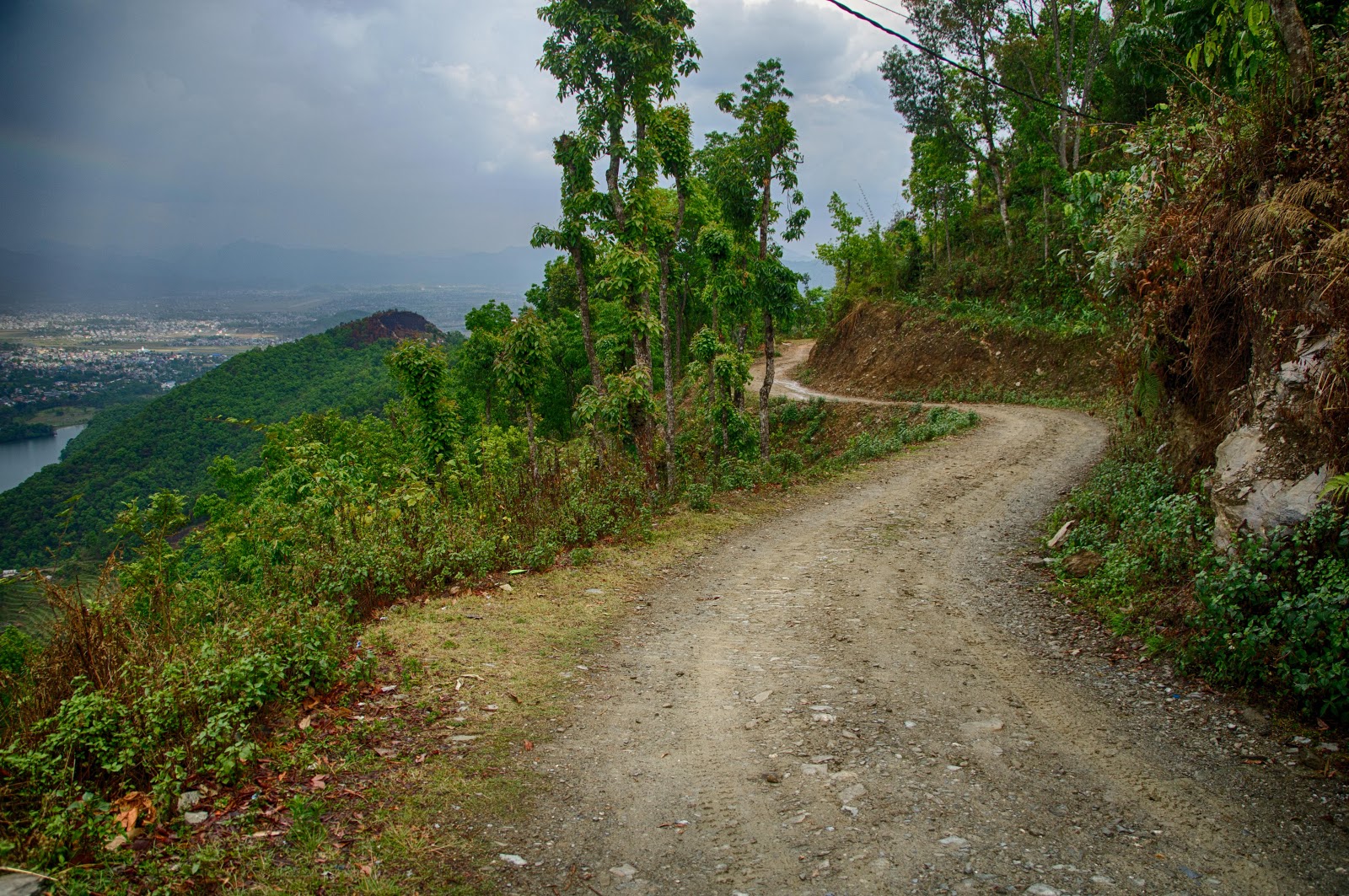 |
| Off Road Scootering above Pokhara |
 |
| Stupa overlooking Pokhara |
 |
| Rainbow over Pokhara Lake |
 |
| Paragliding! |
I hope that anyone going to do this trek finds this helpful. I enjoyed this trip immensely, and will definitely be back in Nepal soon!
Tim Carlielle
Hi Tim, truly fantastic work and even more impressive imagery. Like you I'm hoping to trek over the 3passes in March 2014. Would it be possible that you post a video on what items you took with you on your holiday
ReplyDeleteKind Regards
Dipesh
Useful information shared..Am very happy to read this article. Thanks for giving us nice info. Fantastic walk-through. I appreciate this post.
ReplyDeleteremote control plane sydney
Hi Tim,
ReplyDeleteNice blog and nice inside out information on Everest 3 pass trek. Follow my site Mountain Trails for more information on trekking in Nepal !
Thanks for sharing such beautiful information with us about Three Passes Trek - Everest Region, Nepal and i hope you will share some more information about Annapurna Base Camp Trekking in nepal.
ReplyDelete
ReplyDeleteHi Tim, truly fantastic work and even more impressive imagery. Thanks for sharing such beautiful information with us about Three Passes Trek - Everest Region, Nepal. it would be great if you will try https://ammoniteadventures.com/trekking/nepal/manaslu-circuit/ manaslu circuit trek as well.
Truly amazing photo gallery thanks for it
ReplyDeletehttp://trekcompanynepal.com/nepal/nepal-trekking/everest-region-trekking/everest-high-passes-trek.html
RC Jet
ReplyDeleteSoldering iron
Sky Flight Rc Jet
kerui Security alarm
weller soldering
Flightline RC Plane
The world Highest Mt. Everest (8,848meters/ 29029ft an elevation, the grand Everest thrust high beside a background of the gigantic deep blue sky with nature in heaven. In our experience have dialed in every detail of the Nepal Mountain treks providing overall standpoints and helpful tips during the trip towards Everest Base Camp (5,306m) trek. The Classic Everest Base Camp trek journey begins and ends in our main tourist junction at Lukla.
ReplyDeletehttps://www.himalayanlocalguide.com/everest-base-camp-trek
Email: info@himalayanlocalguide.com
Contact Number : +977-9818141334